KMTA Communities
Seward
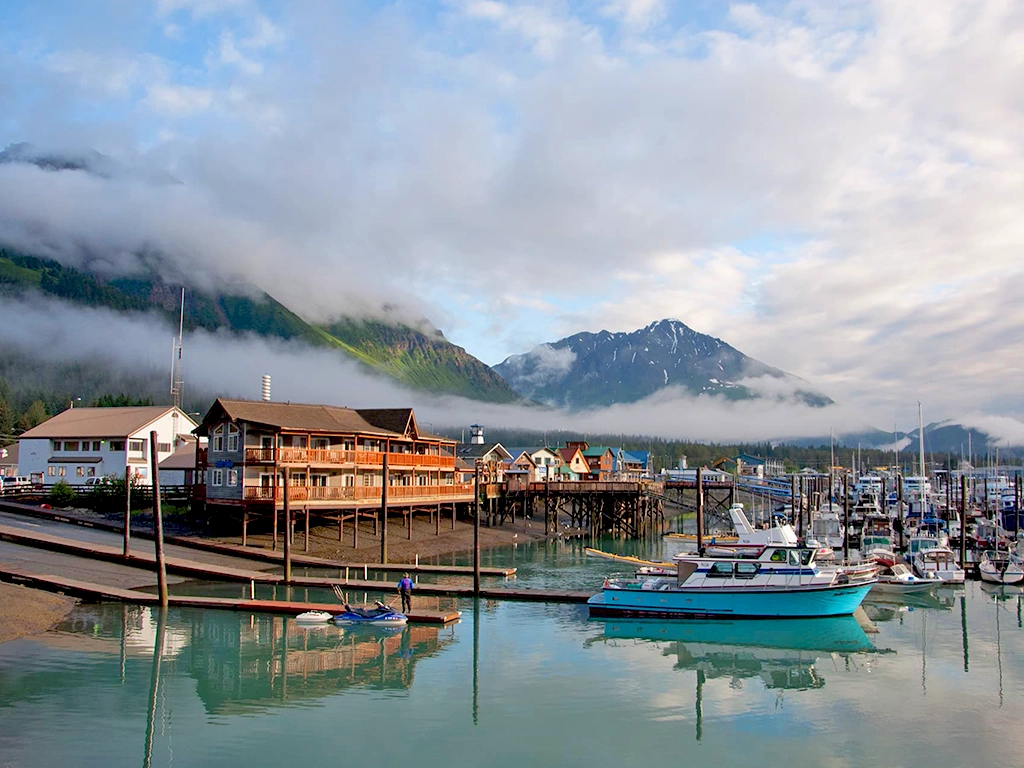
Seward, Alaska – known in Sugt’stun as Qutekcak, meaning “Big Beach” or “Long Beach” – is situated on the sheltered northern end of Resurrection Bay. Sugpiaq/Alutiiq peoples have lived in and cared for this coastal region for generations and remain an integral part of the community today.
Seward’s identity has long been shaped by its rich marine coastal ecosystem and unique geography as an ice-free port, historically serving as a gateway to Alaska’s interior and currently anchoring its commercial fishing and tourism industries. Today, Seward has a population of around 3,000 and continues to capture the hearts of locals and visitors alike through its unique confluence of nature, culture, and community.
Moose Pass
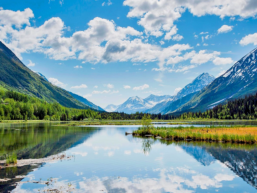
Moose Pass, Alaska, is a small, close-knit community of roughly 200 residents nestled along the shores of Upper Trail Lake in the heart of the Kenai Mountains. Like many KMTA communities, its founding traces back to the Hope-Sunrise gold rush era, the historic Iditarod Trail, and the building of the Alaska Railroad.
Today, Moose Pass is surrounded by the Chugach National Forest, with the Seward Ranger District office lying just south of town. The Iditarod National Historic Trail and other well-loved trails remain an integral part of community life. It’s also known for the Estes Brothers Grocery – owned and operated by one of Moose Pass’s founding families – and the annual Moose Pass Summer Solstice Festival, held each June.
Cooper Landing
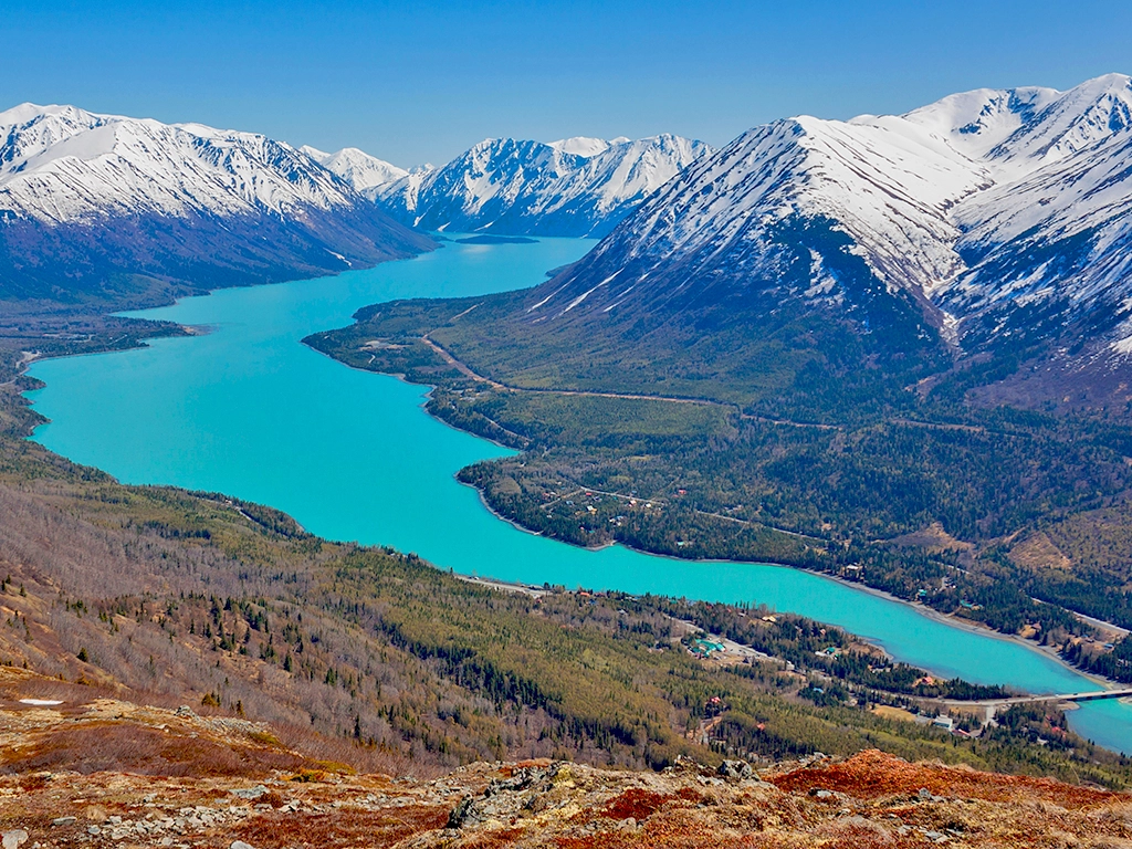
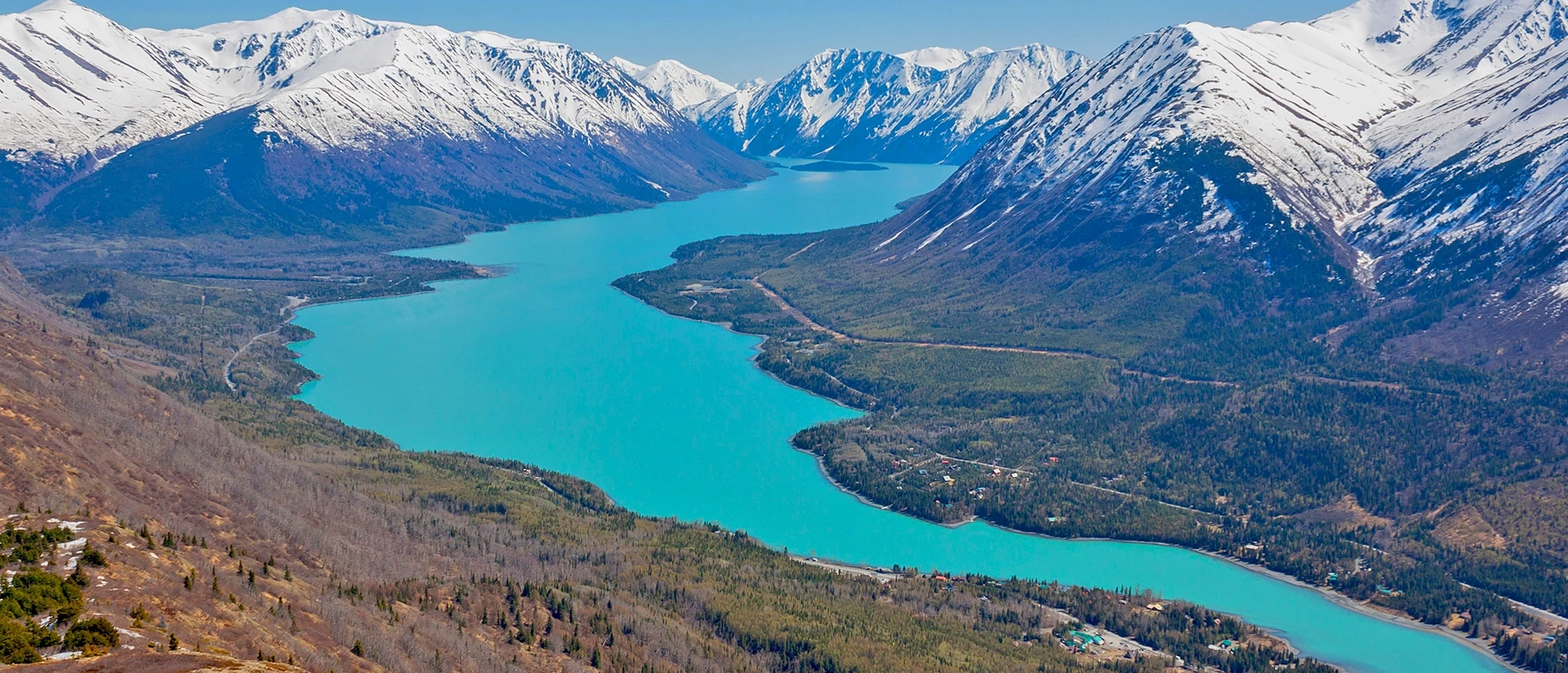
Cooper Landing lies nestled in a glacial valley where the Kenai River meets Kenai Lake. Home to just over 300 residents, this small community lies within the ancestral homeland of the Kenaitze Dena’ina, who have long gathered along the river to harvest salmon and care for this place.
Today, Cooper Landing is celebrated by locals and visitors alike for its world-class fishing and recreation opportunities and remains a place where Dena’ina heritage, pioneer ingenuity, and natural beauty coalesce. Beloved community traditions include a volunteer-organized annual summer Softball Tournament at the end of May that has been going on for over 30 years and counting!
Hope & Sunrise
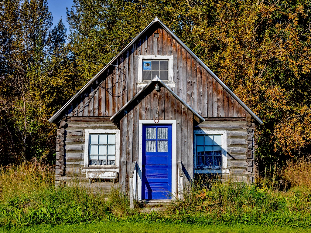
Hope and nearby Sunrise sit along the southern shore of Turnagain Arm, within the ancestral homeland of the Dena’ina, who traveled through and cared for this region long before the gold rush. Founded during the rush of the late 1890s, Hope is now one of Southcentral Alaska’s best-preserved historic communities, with many original buildings still standing. Sunrise briefly became one of Alaska’s largest towns before the boom faded; its story reflects the ambition, resilience, and boom-and-bust cycles of that era. The roughly 40-mile Resurrection Pass Trail connects Hope with Cooper Landing through the Kenai Mountains. Today, Hope blends its historic character with hiking, rafting, live music, and community traditions.
Portage & Whittier
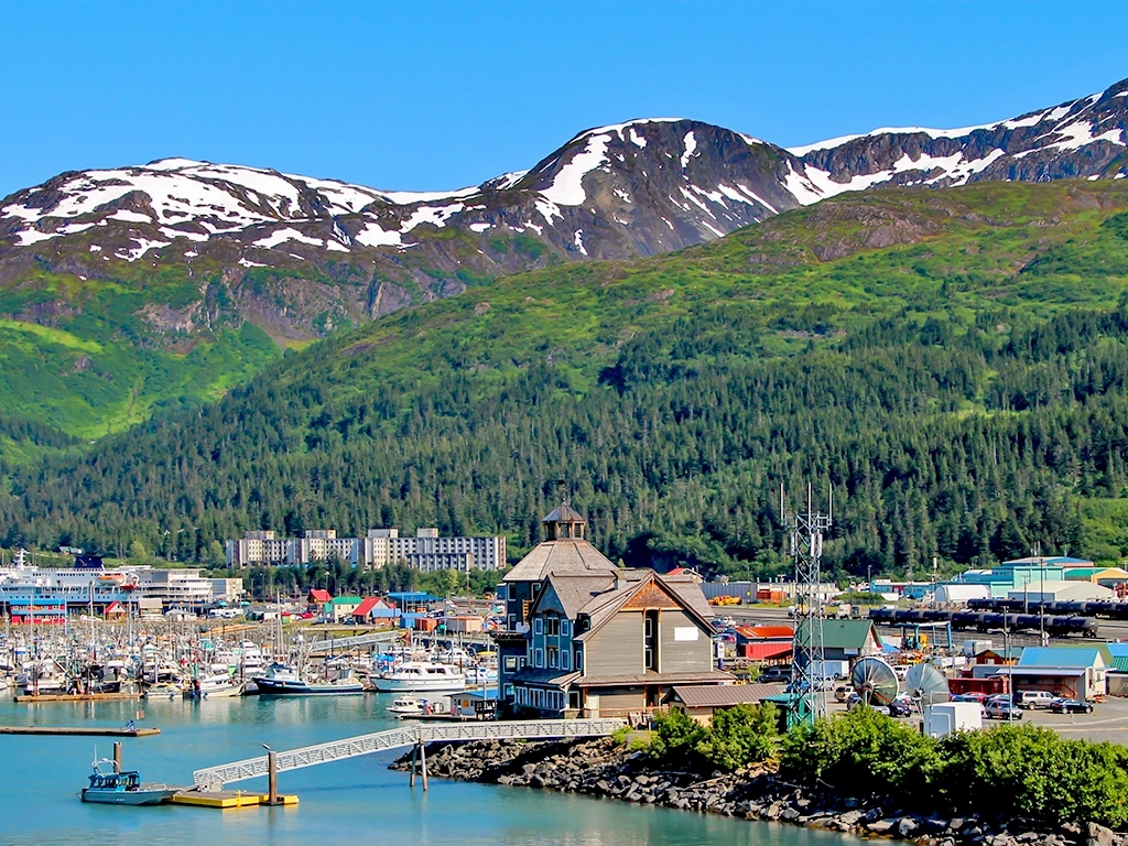
Portage and Whittier share a remarkable connection to Alaska’s transportation history and the landscapes between Turnagain Arm and Prince William Sound. Long before the railroad or highway, Indigenous peoples traveled through Portage Pass. Its Dena’ina name, Ułchena Hch’aqedełt, means “where the Alutiiqs came out,” and speaks to the movement of Sugpiaq/Alutiiq people from Prince William Sound toward Turnagain Arm. Portage later grew as a railroad community; Whittier grew from a strategic military outpost into a coastal community and gateway to marine adventures.
Today, the two places remain linked by rail and by the Anton Anderson Memorial Tunnel, where cars and trains take turns crossing the mountains. Portage Valley continues to draw people to its glaciers, trails, and wildlife, while Whittier remains both a working port and a gateway to Prince William Sound.
Girdwood
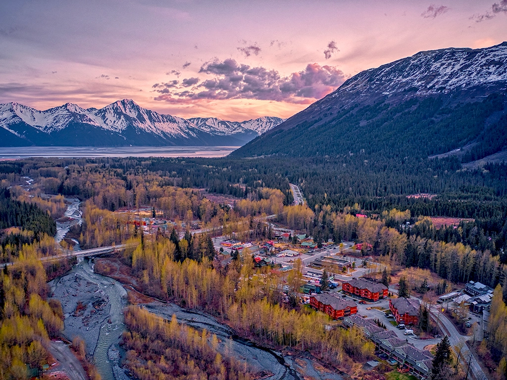
Surrounded by the peaks of the Chugach Mountains, Girdwood has evolved from a gold mining supply settlement into one of Alaska’s premier year-round recreation communities. The valley was a place of travel and gathering for Indigenous peoples long before Glacier City, as the mining settlement was first called, took shape.
Today, residents enjoy a vibrant local arts scene, strong community spirit, and access to skiing, hiking, and mountain biking. Visitors often arrive for the scenery and outdoor experiences but quickly discover a welcoming town with a distinctive Alaskan character. Girdwood is home to Alyeska Resort, the Chugach National Forest’s Glacier Ranger District, and the annual Forest Fair, held over Fourth of July weekend.
Indian & Bird Creek
The neighboring communities of Indian and Bird Creek occupy a scenic stretch of Turnagain Arm. Surrounded by Chugach State Park, they are the northernmost communities in the KMTA National Heritage Area and the last of its small historic mining and railroad settlements before Anchorage. These valleys were known to the Dena’ina long before miners and railroad workers arrived.
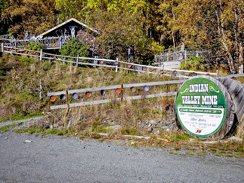
Today, residents and visitors fish for salmon at Bird Creek, bike the Bird-to-Gird Trail, hike into the mountains, and stop along the Arm to take in its changing light and tides. Indian Valley Mine offers a window into early mining life, while the Bird Ridge Hill Climb and the Arctic-to-Indian ski traverse continue the area’s tradition of travel through the mountains.
Seward’s Story
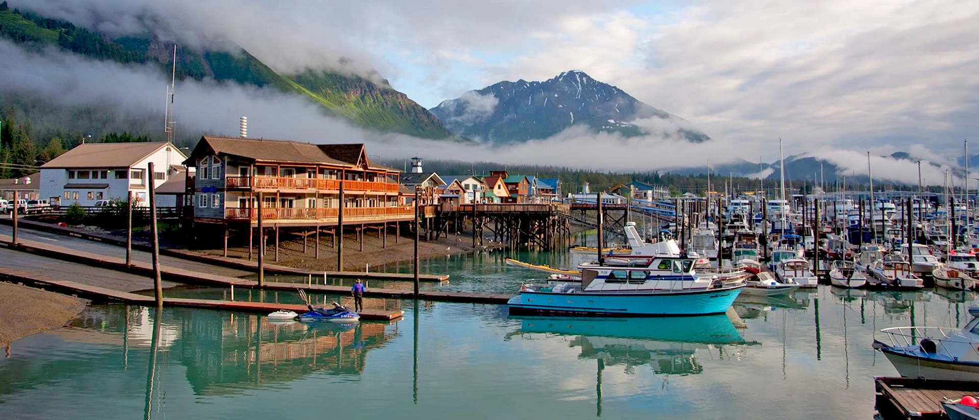
Long before Seward became a port and railroad town, the shores of Resurrection Bay were a place where Native people lived, traveled, and gathered. The Unegkurmiut Eskimo lived along the outer Kenai coast, including this area, and are ancestors of people living today in Nanwalek and Port Graham. They were among the Sugpiaq, also known as Alutiiq—two names used within the same cultural and language community. Sugpiaq means “real person” and is often preferred on the Kenai Peninsula; Alutiiq came into use during the Russian colonial era and remains a name many people use today. The Qutekcak Native Tribe describes this coast as a meeting ground for people from across Southcentral Alaska, a tradition of gathering that continues in Seward today.
The names of this place hold some of that history. Qutekcak is the name the Tribe uses for the area around Seward. Chugachmiut, an Alaska Native Tribal consortium serving the Chugach region, also records Qutatluq as the name of a village at or near today’s townsite. Russian traders later established trading and shipbuilding operations on Resurrection Bay, bringing profound changes to the lives of Native people along the coast. Other Alaska Native people came to the area through both forced labor and voluntary work
In the 1880s, Mary Lowell, a woman of Alaska Native and Russian ancestry, and her family made their home at the head of the bay. Her land became part of the townsite established in 1903 for a railroad into Alaska’s interior, built over an earlier Native village site. The new town (Seward) was named for William H. Seward, the U.S. secretary of state who negotiated the 1867 purchase of Alaska from Russia. Critics called the purchase “Seward’s Folly.” That nickname reflects an American debate about the transaction, which took place without the consent of the Alaska Native peoples whose homelands were involved.
Seward’s ice-free port helped connect the Gulf of Alaska with the interior. The railroad still begins here, as does the historic Iditarod Trail, a network used to carry mail and supplies by dog team between coastal communities, inland settlements, and Alaska Native villages. Another piece of Alaska’s history took shape in Seward in 1927, when John Ben “Benny” Benson, a 13-year-old Alutiiq boy living here, designed the territorial flag. Its Big Dipper and North Star remain on Alaska’s flag today.
Seward’s Alaska Native community is part of its present as well as its past. Native residents formally organized the Mount Marathon Native Association in 1972; it became the Qutekcak Native Tribe in 1993. The Tribe serves members of diverse Alaska Native backgrounds through cultural and community programs and continues its decades-long pursuit of federal recognition. Its work carries forward the connections among people, land, and heritage that the Tribe describes as central to Qutekcak.
In 1964, the Good Friday Earthquake, tsunamis, and fires devastated Seward’s waterfront. Residents rebuilt, and today the harbor remains central to a year-round community of fishing crews, maritime workers, researchers, families, and small businesses. The Alaska SeaLife Center, downtown art, and nearby Kenai Fjords National Park offer ways to engage with the coast, while the Fourth of July Mount Marathon Race brings generations of runners and spectators together. Seward remains a place where people meet, drawn by the sea, connected by community, and continuing to shape its story.
Moose Pass’s Story
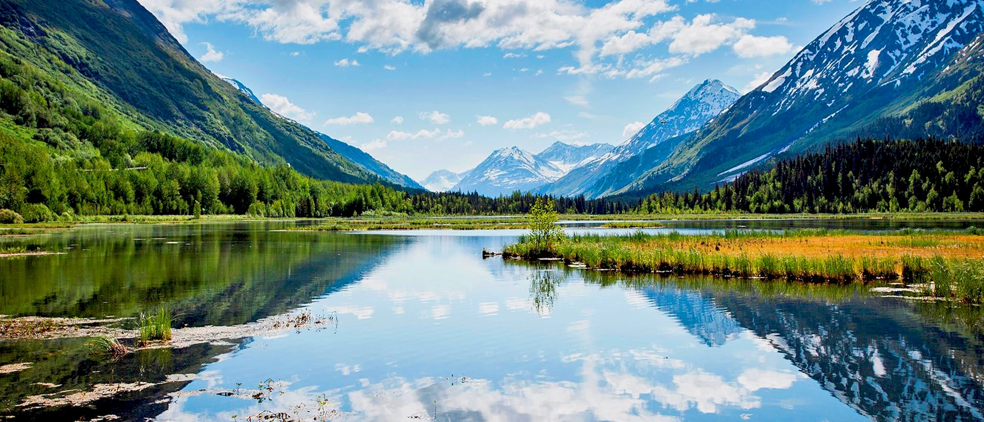
Moose Pass sits beside Upper Trail Lake in a natural passage through the Kenai Mountains. Its town history is often told through prospectors, roadhouses, and railroad builders, but the wider Iditarod trail system has an older history: its routes connected Alaska Native villages before they carried mail, supplies, and gold rush travelers across the territory. By the early 1900s, travel through the Moose Pass area was drawing prospectors and supplies toward gold fields to the north. What began as a stopping place along a difficult journey gradually became a place people called home.
In 1909, Oscar Christensen and Mickey Natt arrived by horse and dog team and built a cabin and then a log roadhouse. Travelers could stop for a meal, a bed, and supplies before continuing through the mountains. A section of the historic Iditarod Trail was cut around Upper Trail Lake in 1910–11, and railroad construction brought a camp to Moose Pass by 1912. Some miners passed through toward other gold fields; others stayed to work nearby claims. Sawmills supplied wood for homes and mines, as well as the railroad’s steady need for ties.
The railroad connected Moose Pass to the wider world, though everyday services still took some ingenuity. Mail arrived by train, sometimes with little certainty about how it would reach the right person. Leora Estes Roycroft took charge in 1928, becoming the community’s first postmaster and formally naming it Moose Pass. According to one local account, the name recalls an earlier mail carrier whose dog team had trouble getting past a moose blocking the trail. Whether or not that encounter settled the name, it has become part of the way Moose Pass tells its story.
The Estes family later helped bring electricity to town, and their grocery store has remained in the family for generations. It still reflects something essential about Moose Pass: travelers stop in, neighbors meet, and local history is part of everyday life.
Those early routes remain part of Moose Pass, but the lake and surrounding forest invite people to linger. Residents and visitors fish, paddle, hike, and spend time on the trails, while volunteers and local institutions help keep this small community connected year-round. Every June, the Moose Pass Summer Solstice Festival fills town with music, food, and neighbors welcoming neighbors. It is a celebration of the same community spirit that helped Moose Pass grow from a roadhouse beside the trail into the place it is today.
Cooper Landing’s Story
The Kenai River has shaped life in this valley for far longer than the community has been called Cooper Landing. The Kenaitze Dena’ina refer to an ancestral place along the upper Kenai River, near its meeting with the Russian River, as Sqilantnu, meaning “ridge place river.” Their ancestors spent summers there harvesting salmon with weirs and spears and preserving it for the seasons ahead. They also gathered plants and berries and traveled into the surrounding mountains to hunt. These were part of a seasonal life grounded in deep knowledge of the river and the land around it.
Today, the Kenaitze Indian Tribe shares this history at the K’beq’ Cultural Heritage Interpretive Site, located at Sqilantnu. K’beq’ means “footprints.” At the cultural site, a boardwalk passes the remains of a traditional Dena’ina home, and Tribal members and staff lead walks and cultural presentations that connect visitors with Dena’ina knowledge and traditions. The site makes clear that this is a living heritage, carried forward by the people whose ancestors knew this place long before the town was established.
Cooper Landing was named for Joseph Cooper, who prospected in the area and established a trading post along the river in the early 1880s. A larger wave of newcomers arrived during the gold rush to Cooper Creek and the northern Kenai Peninsula beginning in the 1890s. As the rush faded, some stayed, making their living through guiding, trapping, fishing, gardening, and small businesses. Families including the Towles and Leans built homes and shared spaces that became part of the community’s center. Some of those buildings now form the Cooper Landing Historic District, preserving a chapter of life along the Kenai River in the early 20th century.
Road connections in the mid-20th century brought more visitors to Cooper Landing and helped make fishing, guiding, and outdoor recreation central to the local economy. At the Cooper Landing Historical Society Museum, historic buildings—including the former post office—share stories of the community that grew along the river. The river remains a source of livelihood and a draw for anglers, while nearby trails lead into the forests and mountains.
Cooper Landing is also a year-round home sustained by the people who live here. Since 1995, volunteers have organized the Cooper Landing Softball Tournament, bringing neighbors and friends from surrounding communities together while raising money for local organizations. It is one expression of the community spirit that makes this valley more than a place people pass through.

Hope & Sunrise’s Story
The history of Hope and Sunrise begins long before either town had a name. This is Dena’ina homeland, and people traveled through the waterways and mountain passes around Turnagain Arm for generations before prospectors arrived. Today, the Resurrection Pass Trail connects Hope and Cooper Landing, inviting travelers to experience a passage through the Kenai Mountains that remains important to the region.
Gold discoveries along Resurrection Creek and Sixmile Creek brought a rush of newcomers in the 1890s. Hope grew near the mouth of Resurrection Creek, while Sunrise took shape along Sixmile Creek. Prospectors arrived by boat, then headed inland to work nearby claims. Stores, roadhouses, and other businesses followed, turning both places into busy supply centers.
For a few weeks in the summer of 1898, Sunrise was reportedly Alaska’s largest town. Its rapid growth brought stores, saloons, a hotel, and transportation routes connecting the town with nearby claims. Hope grew too, developing the gathering places and everyday services of a community. But gold rush towns could change quickly. As the richest claims were worked out and transportation routes shifted, Sunrise declined. Its story reflects the ambition and resilience of the people who built it, as well as the boom-and-bust cycles that shaped this period of Alaska’s history.
Hope endured. Residents continued mining, but also made lives through fishing, gardening, guiding, and other work. Some of Southcentral Alaska’s best-preserved gold rush-era buildings still stand here, including the Social Hall, built in 1902 and still used for community gatherings. The Hope and Sunrise Historical and Mining Museum preserves photographs, artifacts, and historic structures that help tell the stories of both towns. At Sunrise, the former townsite and Point Comfort Cemetery offer reminders of a once-bustling community. Local historians and volunteers have worked to care for the cemetery and the memories it holds.
Hope’s present-day life is every bit as much a part of its identity. Residents and visitors take to the trails, fish, raft Sixmile Creek, and gather for live music at local venues. The Hope and Sunrise Wagon Trail Run brings people together while raising funds for local nonprofits. Hope’s historic buildings tell visitors where the town has been, while the people who use them continue to shape what it becomes.
Portage & Whittier’s Story
Before there was a tunnel, crossing between Turnagain Arm and Prince William Sound meant traveling through Portage Valley and over the pass. Dena’ina and Sugpiaq/Alutiiq peoples knew this route long before prospectors followed it. The pass remains a hiking trail today, offering a way to experience the mountain crossing that once connected these waterways on foot.
Railroad construction brought a settlement to Portage, while World War II reshaped the other side of the mountains. Seeking a protected, ice-free port for moving military supplies, the U.S. Army built a railroad spur through two tunnels to Whittier. The port became an important transportation link. When the military later withdrew, the people who stayed built a civilian community around the harbor and railroad.
The 1964 earthquake changed Portage’s future. The land beneath the settlement dropped roughly six feet, allowing tides to flood the area. Portage was abandoned, and a few remaining structures and its ghost forest now mark the former community. Whittier suffered earthquake and tsunami damage too, but its residents rebuilt.
Portage Valley continues to welcome people by road and rail. The Alaska Railroad’s Portage stop serves travelers heading toward Whittier and other destinations, while the Alaska Wildlife Conservation Center cares for animals and helps visitors learn about Alaska’s wildlife. Farther into the valley, trails and Portage Lake lead toward glaciers and the Begich, Boggs Visitor Center, where exhibits and Forest Service interpreters share the natural and cultural history of the Chugach National Forest.
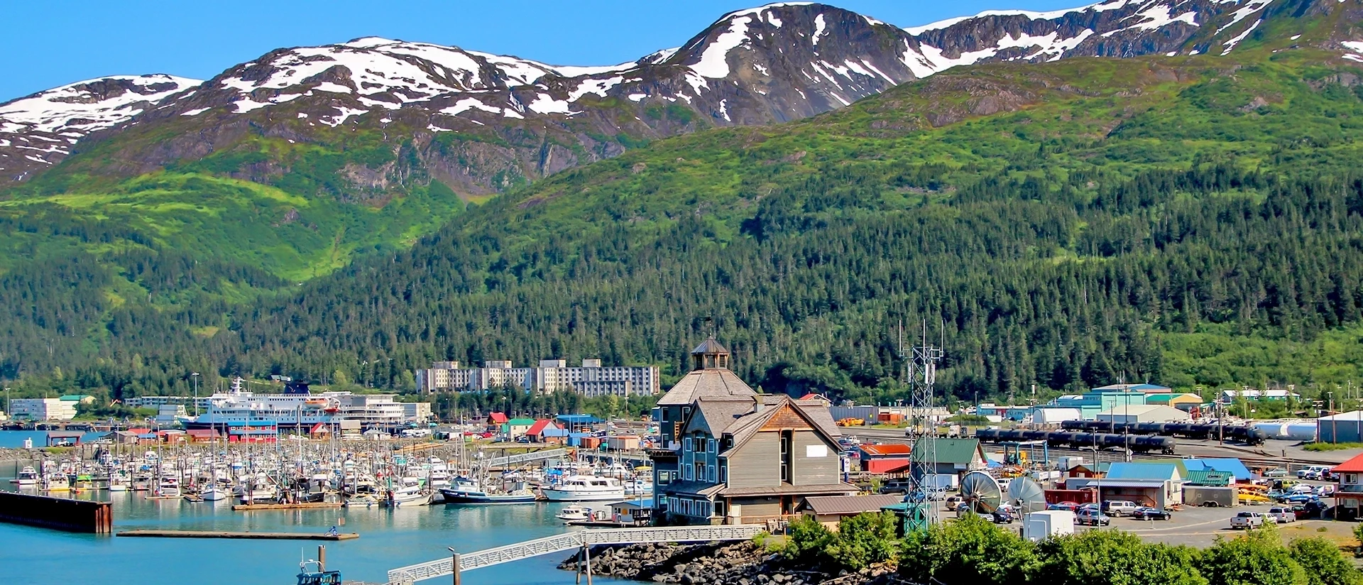
Whittier is far more than a stop on the way to Prince William Sound. It is home to a small year-round community whose residents keep its school, harbor, businesses, and public services going. Most live in Begich Towers, a former military building that also houses community services. Whittier’s residents bring different backgrounds and traditions to this close-knit place, including a Samoan community with a Samoan-language congregation. Their lives and work are part of Whittier’s story today, alongside its military and maritime history.
Whittier’s working harbor supports commercial fishing, freight, ferries, and the Alaska Railroad, while kayakers and boaters set out to explore Prince William Sound. The community is connected to the rest of Alaska by the Anton Anderson Memorial Tunnel, the longest combined vehicle and railroad tunnel in North America. Cars and trains take turns traveling its 2.5 miles through the mountain—and once it’s your turn, you spend about ten minutes driving through rock before emerging beside the sea.
More from Portage & Whittier
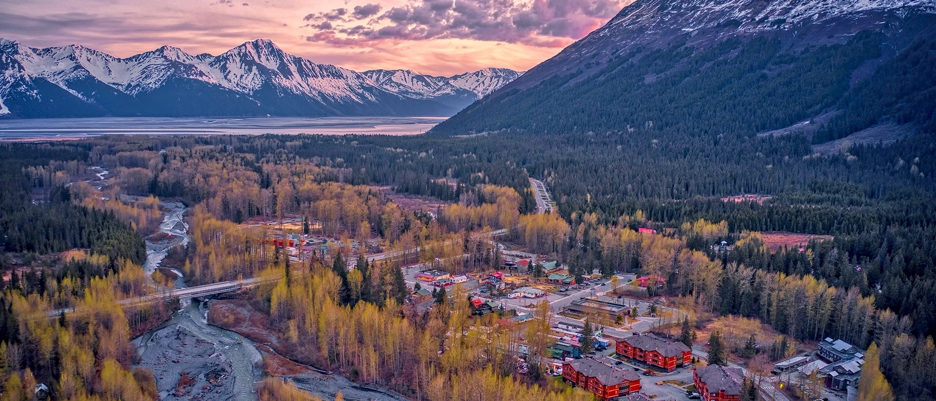
Girdwood’s Story
Long before it was called Girdwood, this valley was part of a wider landscape traveled and cared for by Alaska Native peoples. Dena’ina, Sugpiaq/Alutiiq, and other people moved through the region, gathering resources and maintaining connections between communities. The valley’s routes later drew prospectors and became part of the trail network linking Turnagain Arm to other parts of Alaska.
In the 1890s, a settlement called Glacier City grew along Glacier Creek, offering food, lodging, and supplies to people working nearby gold claims. James Girdwood arrived around the turn of the century and staked claims on Crow Creek. The community eventually took his name, but mining was only one part of its story. Travelers and dog teams passed through on the Iditarod Trail system, sawmills supplied railroad ties, and railroad and highway construction brought new workers to the valley. Crow Creek Mine remains a tangible connection to those years.
As Girdwood became easier to reach, residents began imagining a different future for its mountains. In 1954, a group of local men formed the Alyeska Ski Corporation. Lifts and a day lodge followed, and the Roundhouse, built as part of the original Chair One lift, still stands above the valley. What began as a local effort grew into Alyeska Resort and helped make Girdwood a destination in every season.
The 1964 earthquake changed where the community would grow. The land near the original townsite dropped several feet, allowing saltwater from Turnagain Arm to flood the area. Residents moved the town roughly two and a half miles up the valley. The ghost forest near the highway still shows where the earthquake altered the shoreline; today’s Girdwood reflects the work of the people who rebuilt farther inland.
Girdwood is now known for downhill and Nordic skiing, hiking, and mountain biking, but its community life reaches well beyond the trails. Local artists, businesses, volunteers, and neighbors give the town its character. Each Fourth of July weekend, the volunteer-run Girdwood Forest Fair brings people together around Alaska art, music, and food, with proceeds supporting local organizations. It is a fitting expression of the place visitors discover beyond the mountain: a community people have built and continue to care for together.
Indian & Bird Creek’s Story
Before these valleys became mining and railroad settlements, they were part of a landscape known and traveled by the Dena’ina. Their names for the waterways preserve some of that knowledge: Esbaytnu is a Dena’ina name for Bird Creek, translated as “goat stream,” and Nuti Ediłeni names Indian Creek, meaning “that which flows into salt water.” The names reflect relationships with the animals, water, and travel routes of Turnagain Arm that long predate the communities visitors see today.
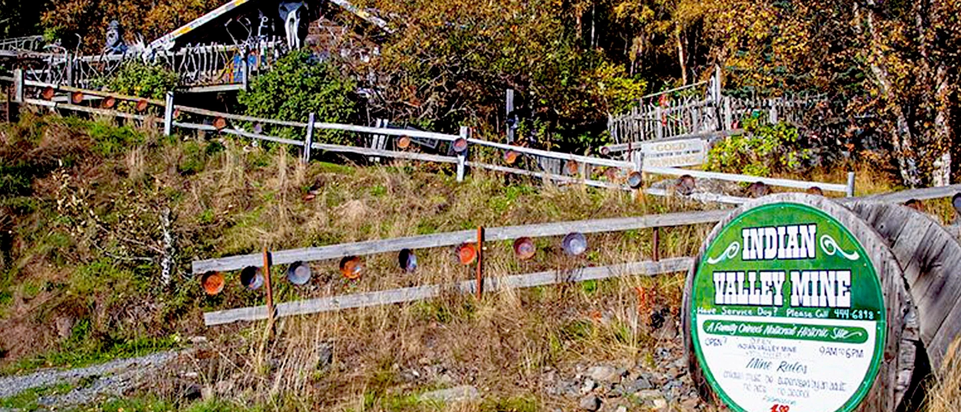
Prospectors began staking claims on Bird Creek during the Turnagain Arm gold rush of the late 1890s. Gold mining there proved modest, but the movement of people and supplies along the Arm continued to shape both communities. Dog teams traveled through the area on routes connected to the wider Iditarod Trail system. Railroad construction brought work to Bird Creek: a sawmill supplied timber and pilings, and a railroad sectionhouse became both a workplace and a stop along the tracks. In Indian, the preserved buildings and equipment at Indian Valley Mine offer a glimpse of the work and daily life of early miners.
The opening of the Seward Highway in 1951 made these valleys easier to reach. Families settled in Bird Creek and Indian, building communities along a corridor that many others experienced only in passing. Residents of Bird, Indian, and nearby Rainbow later organized a community council, creating a way to work together on the needs of their shared stretch of Turnagain Arm.
Today, the mountains and water are part of everyday life here. Bird Creek draws salmon anglers, while Bird Ridge challenges hikers and runners, including participants in its longstanding hill climb. Trails lead into both valleys, and the Arctic-to-Indian traverse offers an ambitious winter route through the mountains. Along the shoreline, the paved Bird-to-Gird Trail connects Indian, Bird Creek, Bird Point, and Girdwood for cyclists and walkers.
There are also reasons to slow down. Bird Point offers wide views across Turnagain Arm, where the tides, wildlife, and weather can make the same stop feel different each time. From here, visitors can look across the water toward Hope and the former townsite of Sunrise. Indian and Bird Creek are places to live and gather, as well as places to pause, explore, and notice the connections across the Arm.